Marine Weather and Tide Forecast for Ashland, ME
April 28, 2024 8:29 AM ADT (11:29 UTC) Change Location
 | Sunrise 6:18 AM Sunset 8:42 PM Moonrise 12:14 AM Moonset 7:50 AM |

Area Discussion for - Caribou, ME
(hide/show) HelpNOTE: mouseover dotted underlined text for definition
FXUS61 KCAR 281039 AFDCAR
Area Forecast Discussion National Weather Service Caribou ME 639 AM EDT Sun Apr 28 2024
SYNOPSIS
High pressure will slowly exit to the east today. A cold front approaches today and crosses the region tonight. High pressure builds in on Monday. Low pressure will approach from the west Tuesday and track south of the Gulf of Maine into Wednesday.
High pressure settles in from the west and then over the area by Thursday.
NEAR TERM /THROUGH TONIGHT/
Update...
High and mid level clouds were continuing to increase across the region early this morning. Temperatures at this hour were hovering around the 40 degree mark in most areas, with a few upper 30s. Just minor adjustments to hourly temps/dew points otherwise no other changes.
previous discussion Upper ridge aloft begins to break down today in advance of an approaching frontal system from the west. The surface high continues to drift southeast out into the open waters of the western Atlantic.
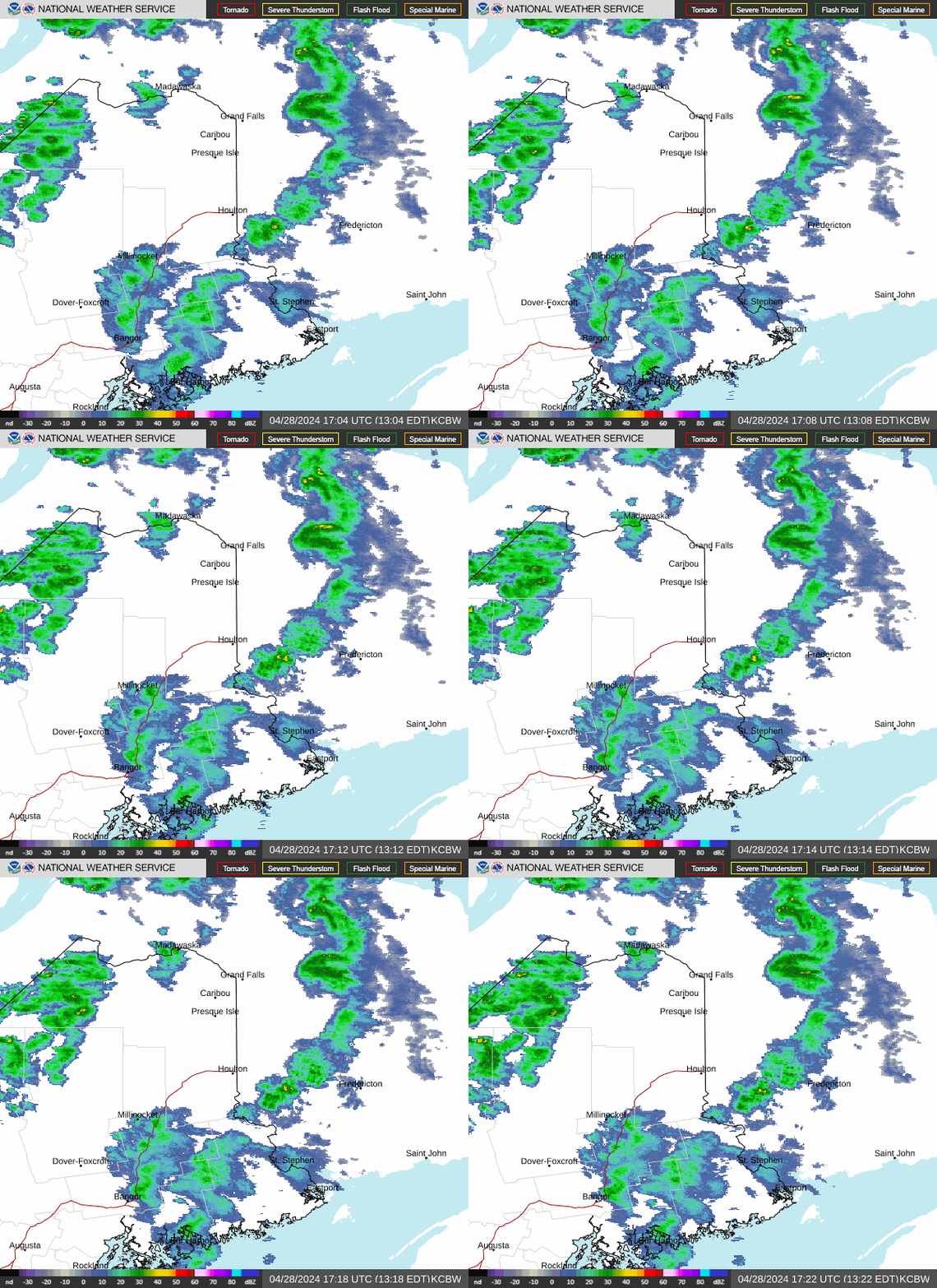
As it does so, southerly flow in advance of the approaching frontal boundary results in some increase in low level moisture with pwats increasing to around 1" later this afternoon. Despite this, any showers with the approaching short wave and cold front look rather spotty and disorganized. Thus, continued with scattered pops this afternoon. This afternoon's high once again will top at around the 60 degree mark for most areas, except it will be cooler along the coast. The cold front begins to cross far northern areas this evening and the moves off the coast by sunrise Monday. Could be scattered showers with the front as it crosses the region, otherwise expect mainly cloudy skies tonight. Wind will shift into the northwest tonight behind the front, as high pressure near Hudson Bay builds east toward the region. Lows tonight will range from the upper 30s to near 40 north and lower 40s elsewhere.
SHORT TERM /MONDAY THROUGH TUESDAY NIGHT/
High pressure and dry Canadian air will be in control over the area into the middle part of the week. Cold front will be offshore by Monday morning with cooler and drier air filtering in behind. Skies will be clearing from southwest to northeast during the day with entire area mostly sunny mid-late afternoon. Cold advection will compete with strong late April sun and will likely keep temps around normal across the north with lwr 60s over Downeast in offshore flow.
Northwest winds will frequently gust to between 20-30kts with mixing up to H8.
Winds remain mixed Monday night and with clear skies expected temps should be able to drop to around freezing acrs the north. Temps on Tuesday will be warmer acrs the north with Downeast slightly cooler than on Monday. Weak wave will likely be getting squashed to our south Tuesday night with best chance for measurable rainfall expected over Downeast.
LONG TERM /WEDNESDAY THROUGH SATURDAY/
Sfc low looks to move well south of the coast Wed afternoon given upr air pattern with showers exiting Downeast during the late morning. Brief s/wv ridge builds in for Thursday as nrn stream wave moves thru central Quebec before dropping into nrn zones in the afternoon with good chance for showers affecting the region Thursday night. Both operational GFS/CMC keep the area dry on Friday with operational EC hinting at a warm front over the area late in the afternoon. Given differences in guidance have kept lochc pops over the entire area during the day. By the early part of the weekend models continue to differ on speed of features associated with upr low in the vicinity of the upr Midwest of the US/southern Canada.
As for temps, above normal temps are expected. However given possible showers over the area during the day showers and clouds may keep highs slightly cooler than currently forecast.
AVIATION /12Z SUNDAY THROUGH THURSDAY/
NEAR TERM: VFR all terminals through most of the afternoon hours. MVFR possible mainly after 22z in lowering ceilings and isolated to scattered showers. MVFR conditions then expected this evening through most of tonight. A brief period of IFR ceilings are possible around time of FROPA, especially KFVE. S wind 10 to 15 kt with G20kt this afternoon. Wind becoming NW 5 to 15 kt after midnight from N to S.
SHORT TERM: Monday-Tuesday...VFR. NNW 10-20kts on Monday with gusts to 25 kts, N 5-15kts Monday night and Tuesday.
Tuesday night ...VFR north, MVFR Downeast in light showers. NNE 5- 10kts.
Wednesday-Thursday...Mainly VFR. Chance MVFR in light showers north late Thursday. NE 5-10kts Wednesday, lgt/vrb Wednesday night then becoming S 5-10kts Thursday.
MARINE
NEAR TERM: Winds/seas will remain below SCA levels through tonight.
SHORT TERM: Cannot rule out SCA conditions over the outer waters Tuesday morning with marginal north winds expected. Winds and seas will remain below SCA conditions outside of Tuesday morning with seas around 2ft throughout the period.
CAR WATCHES/WARNINGS/ADVISORIES
ME...None.
MARINE...None.
Airport Reports
EDIT (hide/show) Help Click EDIT to display multiple airports. Follow links for more data.| Airport | Dist | Age | Wind kt | Vis | Sky | Weather | Temp | DewPt | RH | inHg |
| KPQI PRESQUE ISLE INTL,ME | 19 sm | 33 min | SE 08 | 10 sm | Overcast | 43°F | 28°F | 57% | 30.15 |
Caribou, ME,


NOTICE: Some pages have affiliate links to Amazon. As an Amazon Associate, I earn from qualifying purchases. Please read website Cookie, Privacy, and Disclamers by clicking HERE. To contact me click HERE. For my YouTube page click HERE

